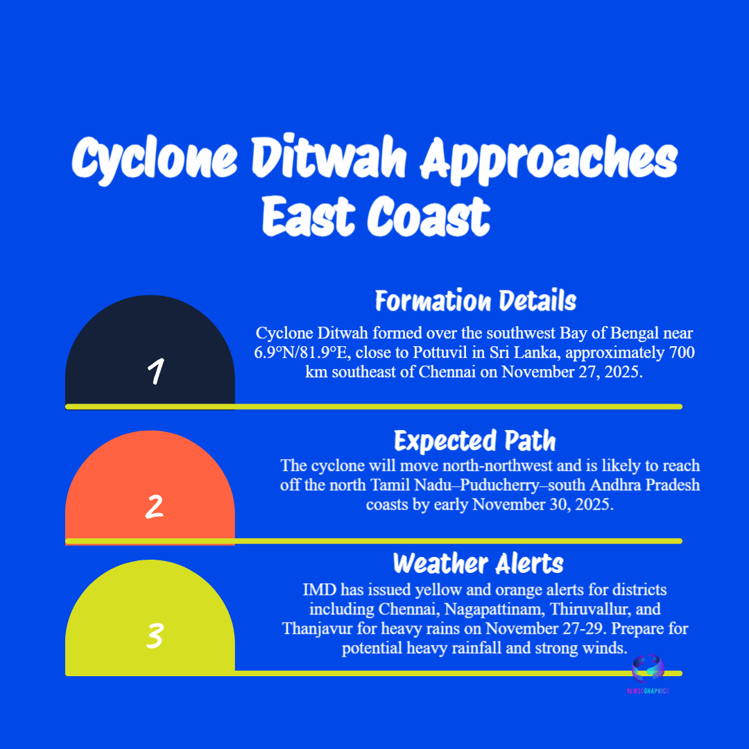
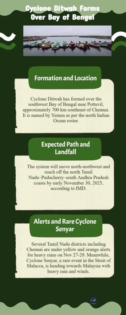
Cyclone Ditwah forms over the Bay of Bengal, moving towards the North Tamil Nadu, Puducherry, and South Andhra Pradesh coast. IMD warns of very heavy rain and 80-90 kmph winds. Get the latest live track updates, safety advisories, and district-wise impact forecast.
Cyclone Ditwah Live Tracking Tamil Nadu Andhra Landfall Nov 30
A state of high alert has been declared across the coastal regions of North Tamil Nadu, Puducherry, and South Andhra Pradesh as the deep depression over the Southwest Bay of Bengal rapidly intensified into a cyclonic storm, now officially named Cyclone Ditwah. The India Meteorological Department (IMD) confirmed the formation of the cyclone today and issued an urgent pre-cyclone watch for all vulnerable districts, warning that the system is likely to approach the Indian coastline by the early hours of November 30th.
According to the latest IMD update, Ditwah is currently tracking roughly north-northwestwards, moving parallel to the Sri Lankan coast. This trajectory places it squarely on a path toward the highly populated and low-lying coastal stretch of the subcontinent. The system, whose name was contributed by Yemen, is categorized based on sustained wind speeds that are projected to reach 80 to 90 kmph, with gusts potentially exceeding 100 kmph upon nearing the coast. This poses a significant threat of structural damage and widespread disruption.


