Get the essential Cyclone Ditwah live tracking updates and the latest IMD red alert status for Tamil Nadu and Puducherry. Understand the storm’s trajectory, projected landfall time, and crucial coastal safety measures to secure your home. Full weather forecast and disaster management preparations inside.
Cyclone Ditwah Live Tracking
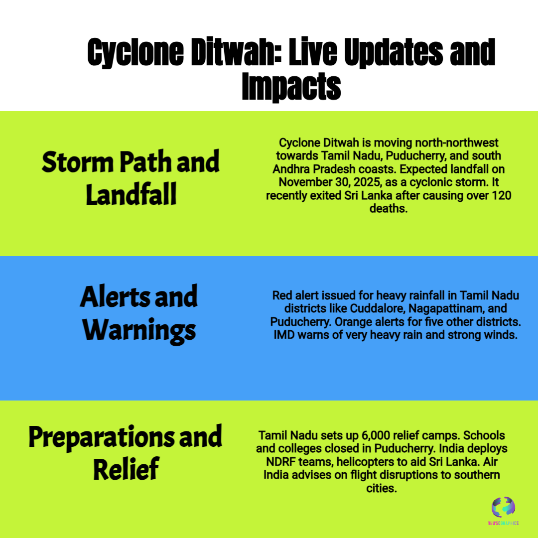
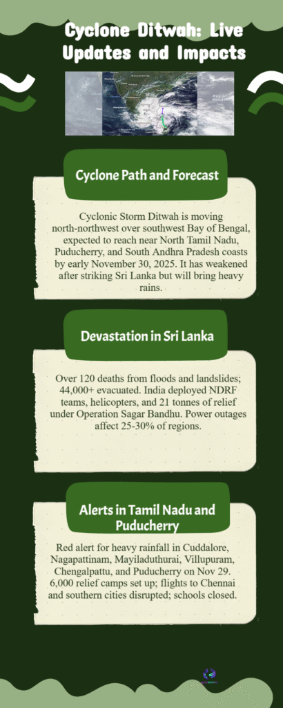
As the Cyclonic Storm Ditwah continues its relentless advance across the Bay of Bengal, coastal regions of India, particularly North Tamil Nadu and Puducherry, are in a state of high alert. The storm, which has already caused tragic devastation and significant loss of life in neighboring Sri Lanka, is rapidly approaching the Indian coastline, demanding immediate and serious emergency preparedness from residents and authorities alike. Our Cyclone Ditwah live tracking shows the system moving north-northwest, poised for a close brush or direct landfall.
The India Meteorological Department (IMD) has been consistently tracking the system, confirming that Cyclone Ditwah is expected to reach the coasts near North Tamil Nadu, Puducherry, and adjoining parts of South Andhra Pradesh by the early morning hours of November 30. While the exact point remains a subject of intense weather forecast monitoring, the impact is certain to be severe. Multiple districts in Tamil Nadu—including Cuddalore, Mayiladuthurai, Villuppuram, and Chengalpattu—along with the entire Puducherry and Karaikal region, have been placed under a crucial Red Alert. This signifies the high probability of receiving extremely heavy rainfall, exceeding 20 cm in isolated spots, coupled with dangerous strong winds gusting up to 90 kmph.


