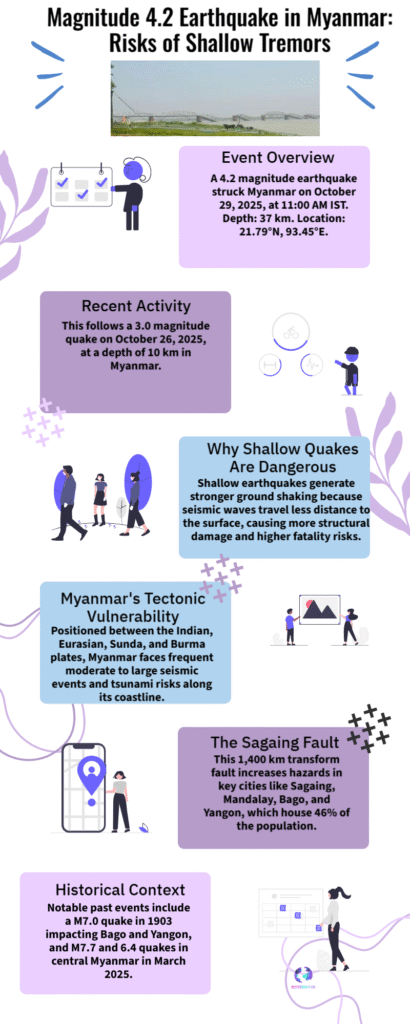
A magnitude-4.2 quake struck central Myanmar at a depth of 37 km. Seismologists explain why shallow tremors amplify damage risk and why aftershocks remain a concern for Mandalay, Meiktila and surrounding areas. Latest details and safety implications.

Magnitude 4.2 Quake Strikes Myanmar
A magnitude-4.2 earthquake hit central Myanmar on September 22, 2025, with the shock recorded at an estimated depth of 37 kilometres near the Mandalay-Meiktila region. The tremor was registered by international seismic monitors and reported in regional media; there were no immediate large-scale damage reports but authorities urged vigilance because of the area’s recent seismic activity.
Seismologists stress that shallower earthquakes — typically those with depths under about 70 km — concentrate more energy near the surface, increasing shaking intensity and localised damage even at moderate magnitudes. Experts note that soil type, building quality and proximity to the epicentre determine how strongly communities feel a quake; in central Myanmar these factors remain a concern after the major March 2025 events that produced powerful aftershocks.
This latest 4.2 tremor is consistent with ongoing seismicity along fault systems in central Myanmar, where aftershocks and smaller shocks have continued months after the large March quake. While a 4.2 event is considered light, it can serve as a reminder to check structural safety of buildings, secure heavy furniture, and review local emergency plans — especially in towns such as Meiktila and Mandalay that felt earlier strong shaking.


